Charts & Maps
Showing 61–90 of 106 results
-
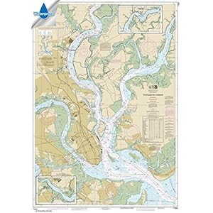 Accesories, Charts & Maps, Fishing
NOAA Chart 11524: Charleston Harbor 34.7 x 49.5 (WATERPROOF)...
ONLY CHARTS SOLD BY RUDY AND RUBY’S BOOKS ON THIS LISTING ARE GUARANTEED TO BE AUTHORIZED FOR CARRIAGE *
Printed on high quality waterproof and tear-resistant material by NOAA Chart Agent, Paradise Cay Publications
Always printed on demand using the most recent data from NOAA -
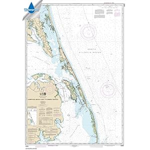 Accesories, Charts & Maps, Fishing
NOAA Chart 12204: Currituck Beach Light to Wimble Shoals 34....
ONLY CHARTS SOLD BY RUDY AND RUBY’S BOOKS ON THIS LISTING ARE GUARANTEED TO BE AUTHORIZED FOR CARRIAGE *
Printed on high quality waterproof and tear-resistant material by NOAA Chart Agent, Paradise Cay Publications
Always printed on demand using the most recent data from NOAA -
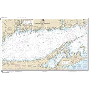 Accesories, Charts & Maps, Fishing
NOAA Chart 12354: Long Island Sound Eastern part, 29.9 X 47....
ONLY CHARTS SOLD BY RUDY AND RUBY’S BOOKS ON THIS LISTING ARE GUARANTEED TO BE AUTHORIZED FOR CARRIAGE *
Printed on high quality water-resistant paper by NOAA Chart Agent, Paradise Cay Publications
Always printed on demand using the most recent data from NOAA -
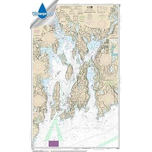 Accesories, Charts & Maps, Fishing
NOAA Chart 13221: Narragansett Bay, 32.8 X 53.8, WATERPROOF
ONLY CHARTS SOLD BY RUDY AND RUBY’S BOOKS ON THIS LISTING ARE GUARANTEED TO BE AUTHORIZED FOR CARRIAGE *
Printed on high quality waterproof and tear-resistant material by NOAA Chart Agent, Paradise Cay Publications
Always printed on demand using the most recent data from NOAA -
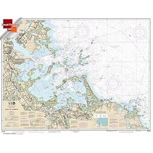 Accesories, Charts & Maps, Fishing
NOAA Chart 13270: Boston Harbor 21.00 x 27.28 (SMALL FORMAT ...
Printed on high quality waterproof material by NOAA Chart Agent, Paradise Cay Publications
Always printed on demand using the most recent data from NOAA
Prepared to be display quality. Shipped rolled in a cardboard tube. -
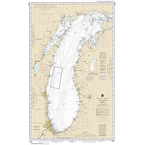 Accesories, Charts & Maps, Fishing
NOAA Chart 14901: Lake Michigan (Mercator Projection), 28.7 ...
ONLY CHARTS SOLD BY RUDY AND RUBY’S BOOKS ON THIS LISTING ARE GUARANTEED TO BE AUTHORIZED FOR CARRIAGE *
Printed on high quality water-resistant paper by NOAA Chart Agent, Paradise Cay Publications
Always printed on demand using the most recent data from NOAA -
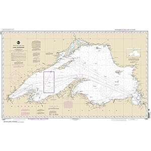 Accesories, Charts & Maps, Fishing
NOAA Chart 14961: Lake Superior (Mercator Projection), 27.1 ...
ONLY CHARTS SOLD BY RUDY AND RUBY’S BOOKS ON THIS LISTING ARE GUARANTEED TO BE AUTHORIZED FOR CARRIAGE *
Printed on high quality water-resistant paper by NOAA Chart Agent, Paradise Cay Publications
Always printed on demand using the most recent data from NOAA -
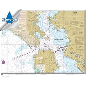 Accesories, Charts & Maps, Fishing
NOAA Chart 18649: Entrance to San Francisco Bay, 35.3 X 45, ...
ONLY CHARTS SOLD BY RUDY AND RUBY’S BOOKS ON THIS LISTING ARE GUARANTEED TO BE AUTHORIZED FOR CARRIAGE *
Printed on high quality waterproof and tear-resistant material by NOAA Chart Agent, Paradise Cay Publications
Always printed on demand using the most recent data from NOAA -
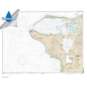 Accesories, Charts & Maps, Fishing
NOAA Chart 81054: Mariana Islands Apra Harbor: Guam 38.5 x 4...
ONLY CHARTS SOLD BY RUDY AND RUBY’S BOOKS ON THIS LISTING ARE GUARANTEED TO BE AUTHORIZED FOR CARRIAGE *
Printed on high quality waterproof and tear-resistant material by NOAA Chart Agent, Paradise Cay Publications
Always printed on demand using the most recent data from NOAA -
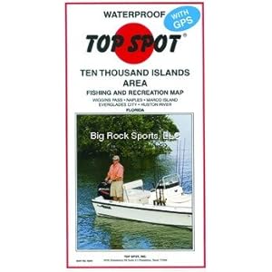
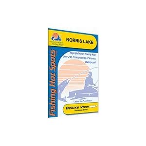 Accesories, Charts & Maps, Fishing
Norris Lake Fishing Map
Tennessee Fishing MapBass interest most anglers on Norris with largemouth and smallmouth leading the way. Solid numbers of both are reported, and the striper population is on the rebound.
Made of durable, waterproof material
Shaded depth areas -
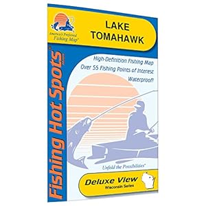 Accesories, Charts & Maps, Fishing
Tomahawk Fishing Map, Lake (Oneida Co)
This lake has a long-standing reputation for providing trophy muskie and walleye. Whoppers in the 40-pound range are out there. Good numbers of walleye from 17 to 20 inches, as well as nice bass and panfish, make it very popular with fishermen.
Made of durable, waterproof material
Expertly researched, color coded, marked fishing areas included and boat accesses clearly marked -
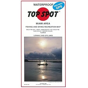
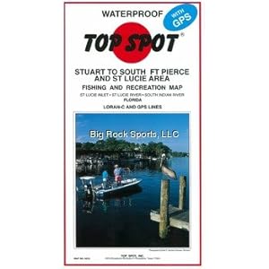
 Accesories, Charts & Maps, Fishing
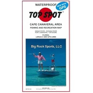
Top Spot Fishing Map for Charlotte Harbor
Waterproof and tear resistant
Includes GPS coordinates for Hot fishing locations, boat ramps, marinas and other points of interest
Indicates types of saltwater fish caught, best fishing months of the year and underwater structure -
 Accesories, Charts & Maps, Fishing
Top Spot Fishing Map for Homosassa Area
Waterproof and tear resistant
Includes GPS coordinates for Hot fishing locations, boat ramps, marinas and other points of interest
Indicates types of saltwater fish caught, best fishing months of the year and underwater structure -
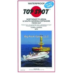 Accesories, Charts & Maps, Fishing
Top Spot Fishing Map for Northeast Florida/Southern Georgia
Waterproof and tear resistant
Includes GPS coordinates for Hot fishing locations, boat ramps, marinas and other points of interest
Indicates types of saltwater fish caught, best fishing months of the year and underwater structure -
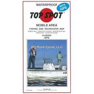 Accesories, Charts & Maps, Fishing
Top Spot Fishing Map from Mobile Bay to Dauphin Island
Waterproof and tear resistant
Includes GPS coordinates for Hot fishing locations, boat ramps, marinas and other points of interest
Indicates types of saltwater fish caught, best fishing months of the year and underwater structure -
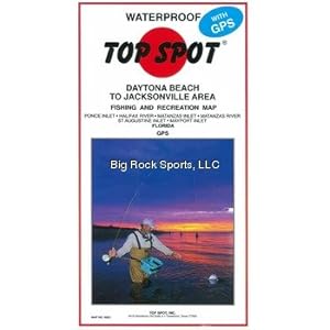 Accesories, Charts & Maps, Fishing
Top Spot Fishing Map from New Smyrna to Jacksonville
Waterproof and tear resistant
Includes GPS coordinates for Hot fishing locations, boat ramps, marinas and other points of interest
Indicates types of saltwater fish caught, best fishing months of the year and underwater structure -
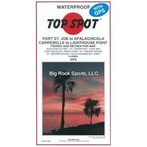 Accesories, Charts & Maps, Fishing
Top Spot Fishing Map from Port St Joe Alalch to Lthse Point
Waterproof and tear resistant
Includes GPS coordinates for Hot fishing locations, boat ramps, marinas and other points of interest
Indicates types of saltwater fish caught, best fishing months of the year and underwater structure -
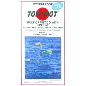 Accesories, Charts & Maps, Fishing
Top Spot Fishing Map from West Coast Florida Offshore Homosa...
Waterproof and tear resistant
Includes GPS coordinates for Hot fishing locations, boat ramps, marinas and other points of interest
Indicates types of saltwater fish caught, best fishing months of the year and underwater structure -
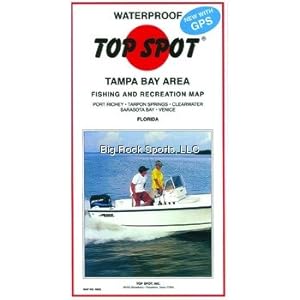 Accesories, Charts & Maps, Fishing
Top Spot Map N202 Tampa Bay Area Fishing and Recreation Map ...
Features some of the top fishing locations in Florida including Port Rickey, Tarpon Springs, Clearwater Sarasota Bay and Venice
Waterproof and tear resistant
Includes GPS coordinates for hot fishing locations, boat ramps, marinas and other points of interest -